| Pages:
1
2
3
4 |
JZ
Select Nomad
      
Posts: 13959
Registered: 10-3-2003
Member Is Offline
|
|
Channel Islands
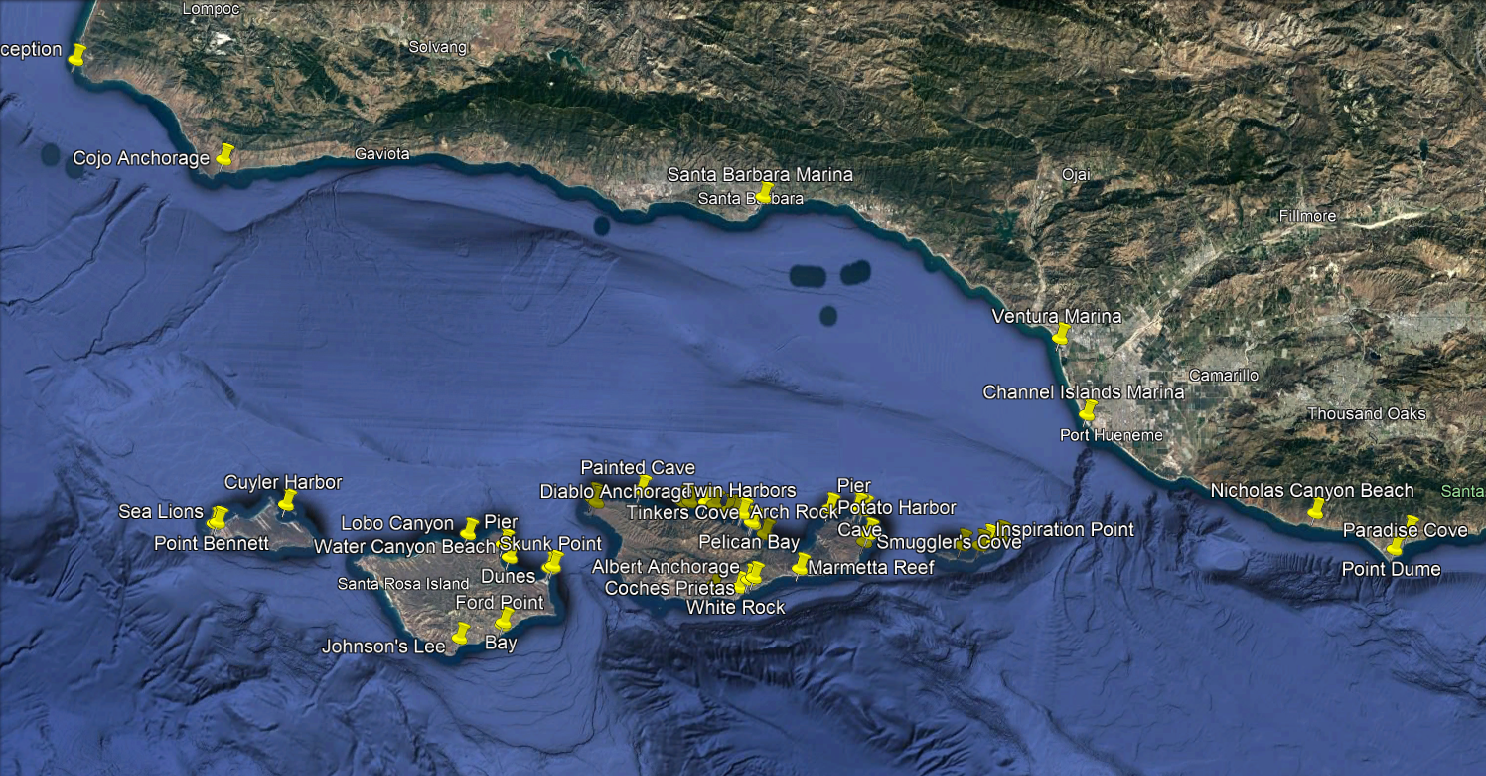
I've been spending a bunch of time mapping out all the bays and anchorages on the islands.
Attached is a file if you want to check some of them out on Google Earth. Planning to make this my next video project.
[Edited on 1-9-2022 by JZ]
Attachment: Area Around Channel Islands.kmz (6kB)
This file has been downloaded 346 times
|
|
|
mtgoat666
Platinum Nomad
       
Posts: 20564
Registered: 9-16-2006
Location: San Diego
Member Is Offline
Mood: Hot n spicy
|
|
GE is poor for boating in channel islands (or boating anywhere). Try Navionics or Coastal Explorer.
Woke!
Hands off!
“Por el bien de todos, primero los pobres.”
“...ask not what your country can do for you – ask what you can do for your country.” “My fellow citizens of the world: ask not what America
will do for you, but what together we can do for the freedom of man.”
Pronoun: the royal we
|
|
|
JZ
Select Nomad
      
Posts: 13959
Registered: 10-3-2003
Member Is Offline
|
|
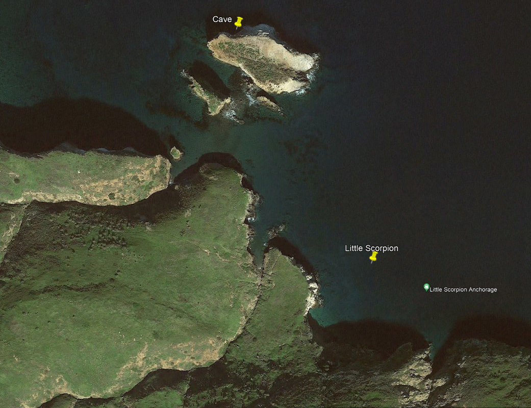
I export way points from GE to Navonics and other apps. GE is fantastic for scoping out new locations.
When you are on the water it's good to see both a chart view and a satellite view.
[Edited on 1-10-2022 by JZ]
|
|
|
JZ
Select Nomad
      
Posts: 13959
Registered: 10-3-2003
Member Is Offline
|
|
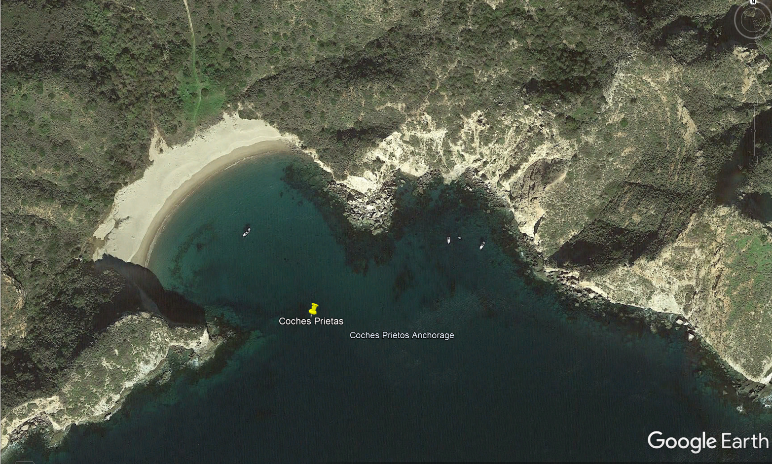
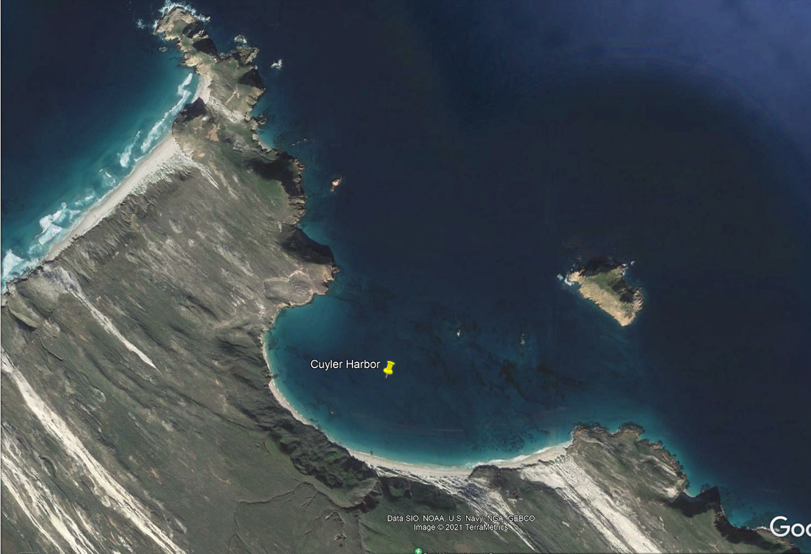
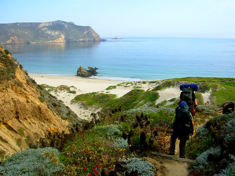
There is a surf spot a few miles East of this anchorage.
Notice also the hiking path to explore further.
[Edited on 1-10-2022 by JZ]
|
|
|
BigOly
Senior Nomad
  
Posts: 524
Registered: 10-1-2010
Location: Los Barriles, Bandon
Member Is Offline
Mood: Easy Birder
|
|
Beautiful photos and great info, thank you.
|
|
|
AguaDulce
Junior Nomad

Posts: 74
Registered: 3-28-2014
Member Is Offline
|
|
Painted Cave on Santa Cruz island. Incredible
|
|
|
Lobsterman
Super Nomad
   
Posts: 1821
Registered: 10-7-2008
Member Is Offline
|
|
Great GE Photos
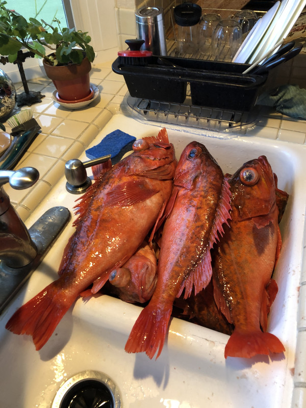
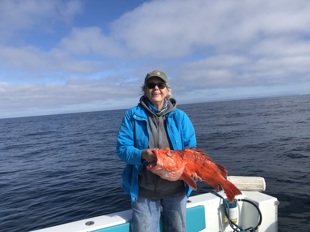
My wife and I are avid deep-water rockfish fishermen. I use GE to find locations where I believe rockfish may hang out. Usually on drop offs into much
deeper waters. I enter these GE waypoints into my fishfinders.
With the closing of rockfishing here in CA (Jan-Feb) I use GE to hunt for fish in Mexican waters as close to the USA as possible. I'll motor to the
saved waypoint from GE and "spot lock" my trolling motor (electronic anchor) over the potential rockfish hole. I look for spots 450-550' on top of the
drop-off. Being anchored over the hole, I only need 1 lb or less of weight to get to the bottom. Great workout. We usually catch limits of fish (10
each). At that depth you never know what the deep may hold in fish, i.e., lingcod, halibut, Humbolt squid, sanddabs, sablefish, black gill as well as
many others in the 35 or so species of great eating rockfish in the area. While heading out I look for tuna, dorado, swordfish and yellowtail.
Thanks, JZ on identifying using GE for finding your special spots whether it is surfing, exploring or our case fishing. Goat sure makes ignorant jabs
at you ever time you post anything. Sure is getting old with his childish antics.
|
|
|
JZ
Select Nomad
      
Posts: 13959
Registered: 10-3-2003
Member Is Offline
|
|
Sweet fish Lobsterman. Appreciate the note, great story.
[Edited on 6-13-2022 by JZ]
|
|
|
JZ
Select Nomad
      
Posts: 13959
Registered: 10-3-2003
Member Is Offline
|
|
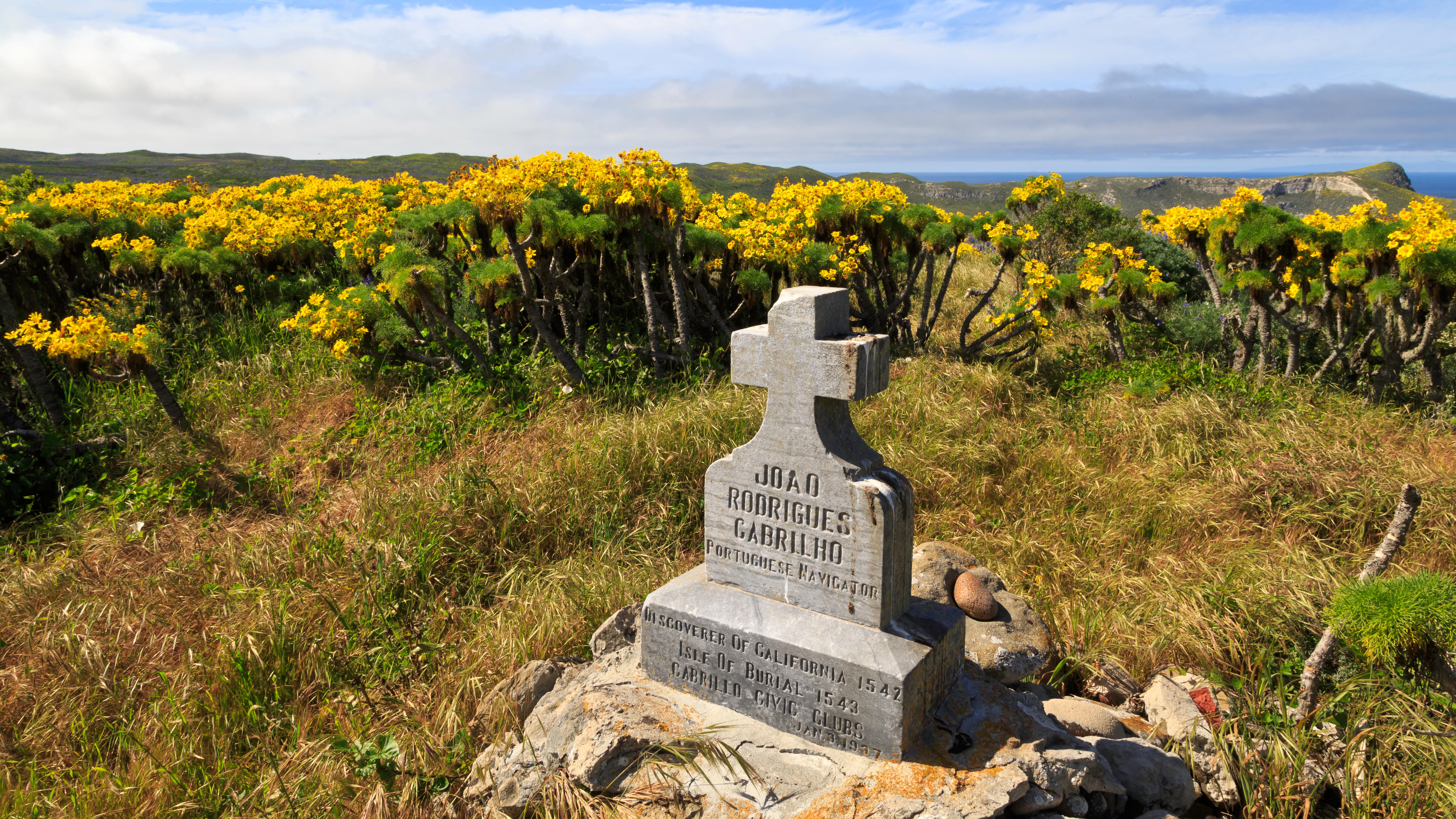
Another very nice bay, this one on San Miguel.
|
|
|
JZ
Select Nomad
      
Posts: 13959
Registered: 10-3-2003
Member Is Offline
|
|
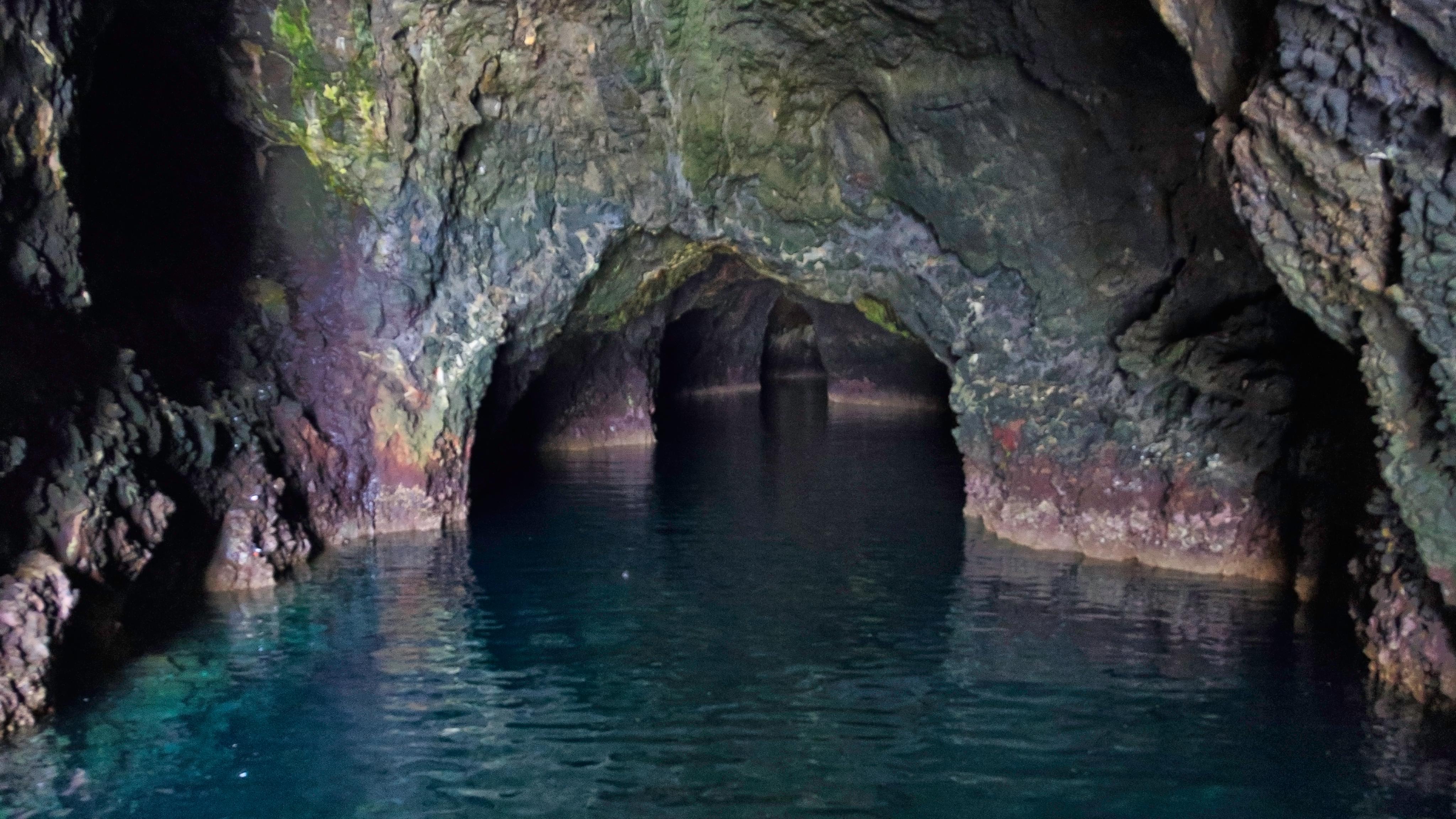
Some say it is the largest sea cave in the world. A boat with a 100+ foot mast can fit into the first camber of the cave. It becomes pitch black
inside and the only thing you can see are the whites of the sea lions' eyes.
[Edited on 1-11-2022 by JZ]
|
|
|
100X
Nomad
 
Posts: 234
Registered: 11-3-2021
Member Is Offline
Mood: Thankful
|
|
You got some lucky kids JZ! If they don't fully realize it yet, they will!
A life of fears leads to a death bed of regrets.
Find someone who will take care of you, and take care of them.
|
|
|
Don Jorge
Senior Nomad
  
Posts: 676
Registered: 8-29-2003
Member Is Offline
|
|
San Miguel
now that island can be a booger of a place weather wise. You learn to pick your days wisely going there. I lived several years in SB and knew lots
of urchin divers and tenders back in the day. Did a few trips with them too.
t is not the Cortez. There is where the Radons and Wilsons developed their flat bottom, flush decked, make the scuppers bigger please boats.
The Channel Islands National Park is proof of the restorative nature of Nature.
For entertainemnt keep an eye on the Santa Barbara Channel weather buoys.
BTW, today's weather is a go!
https://www.ndbc.noaa.gov/station_page.php?station=46054
�And it never failed that during the dry years the people forgot about the rich years, and during the wet years they lost all memory of the dry
years. It was always that way.�― John Steinbeck
"Until a person learns to respect nature and talk to the animal world, he will never know his true role on Earth." Enzo Mallorca
"Nature bats last." Doug "Hayduke" Peac-ck
|
|
|
wilderone
Ultra Nomad
    
Posts: 3895
Registered: 2-9-2004
Member Is Offline
|
|
I've backpacked and camped at San Miguel, Santa Rosa and Santa Cruz. Coincidentally, the time on Santa Cruz, one of the original ranchers (she was a
girl then), was on our boat and stayed on the island to commemorate her father who is buried there. She gave us a tour of the ranch property and told
us all about how they lived there. There is a resident ranger there - were invited for popcorn and a film one night at his residence. He also led a
hike 6 mi. on the other side of the island to see the largest pinniped populations on the west coast. Learned about the island foxes and saw plenty.
There are hiking trails for miles and miles. Also, on the beach at Santa Rosa, you can see pygmy mammoth bone sticking out of the cliffs there.
Great indigenous history, which is displayed on the beaches - redwood logs washed ashore from northern California which were used for the canoes,
midden piles 15 ft. high - we were told that they were covered with sand to protect them. Good snorkling at the dock on San Miguel. They rent kayaks
there too.
Anyway, it's not at all difficult to get over to the islands and camp and stay awhile -get permit online, book passage at Ventura harbor - en route
the boat goes into the cave, and will stop to observe dolphins and whales.
|
|
|
JZ
Select Nomad
      
Posts: 13959
Registered: 10-3-2003
Member Is Offline
|
|
Finally did our first run out to the islands.
It was very foggy when we left the Ventura marina. But the water was super flat for the Pacific. We made it out in under an hour.
As I had hoped, the sun came through once we got to the South end of Santa Cruz Island near Smuggler's Cove.
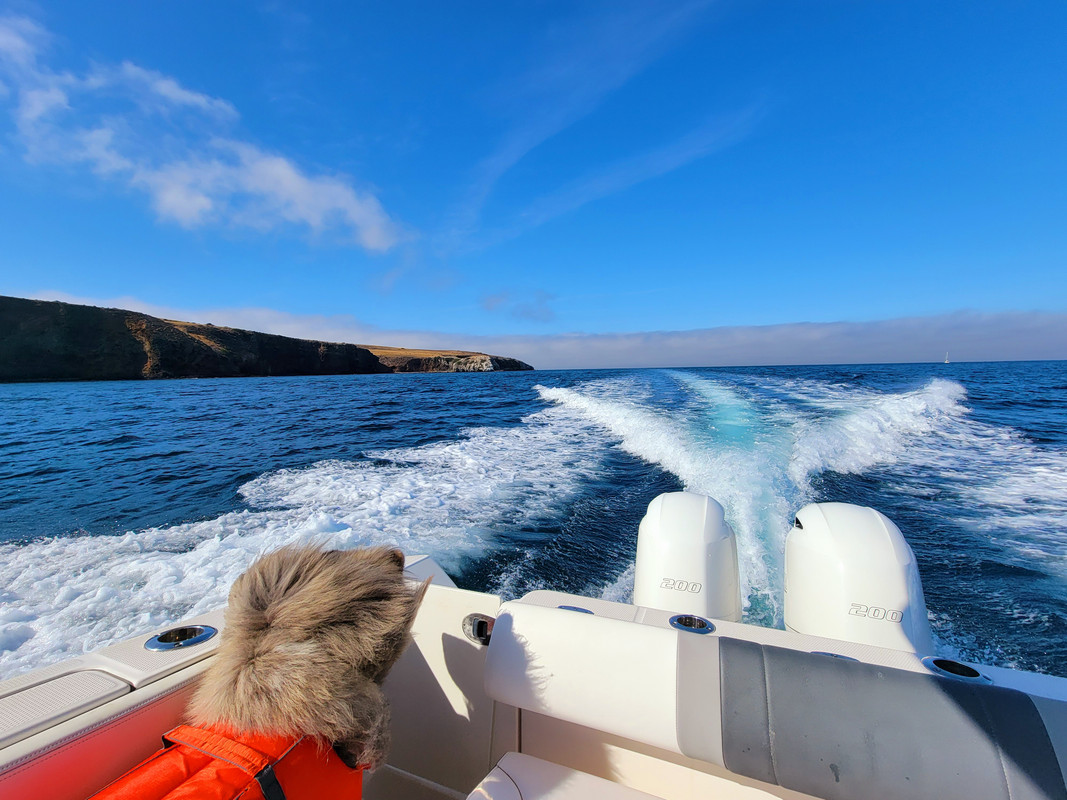
We saw a pod of a couple hundred dolphins on the way back.
[Edited on 6-23-2022 by JZ]
|
|
|
JZ
Select Nomad
      
Posts: 13959
Registered: 10-3-2003
Member Is Offline
|
|
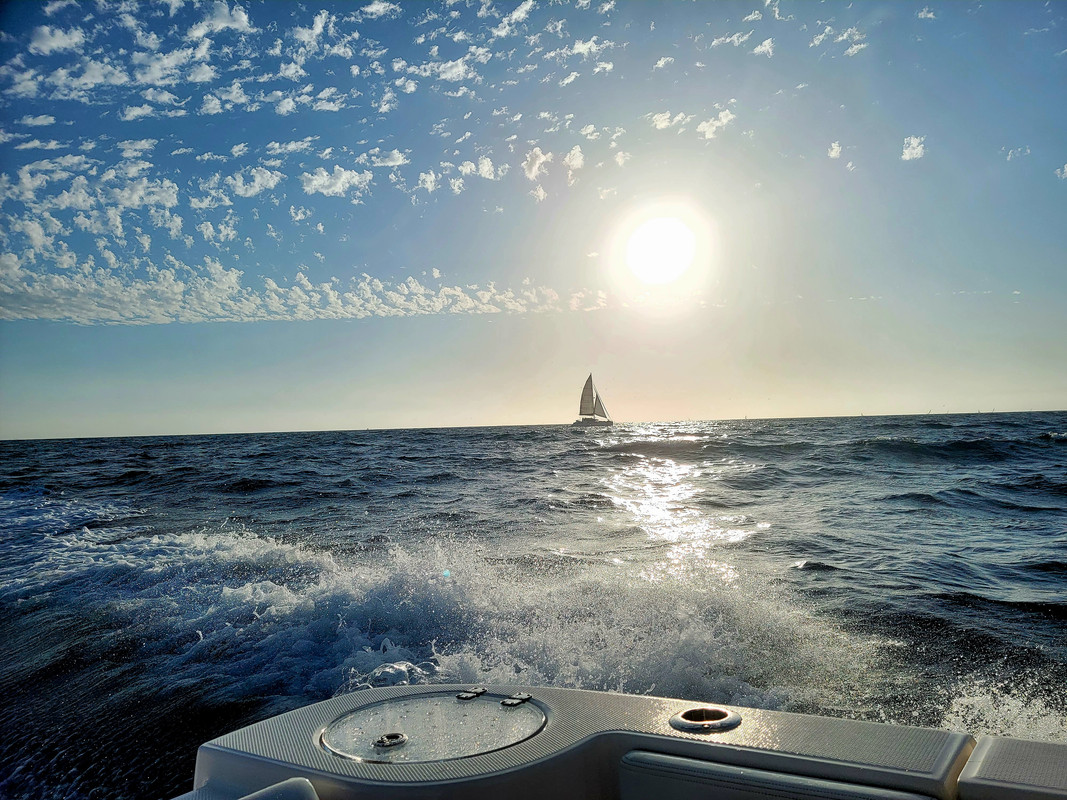
Made another run out to the islands today.
|
|
|
JZ
Select Nomad
      
Posts: 13959
Registered: 10-3-2003
Member Is Offline
|
|
|
|
|
JZ
Select Nomad
      
Posts: 13959
Registered: 10-3-2003
Member Is Offline
|
|
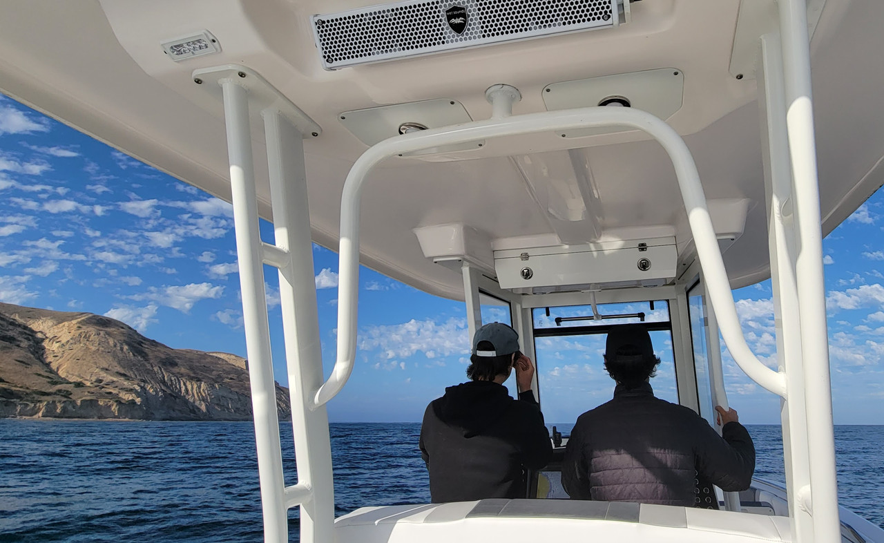
My two boys driving the boat.
|
|
|
BajaBlanca
Select Nomad
      
Posts: 13247
Registered: 10-28-2008
Location: La Bocana, BCS
Member Is Offline
|
|
wow, just wow.
|
|
|
JZ
Select Nomad
      
Posts: 13959
Registered: 10-3-2003
Member Is Offline
|
|
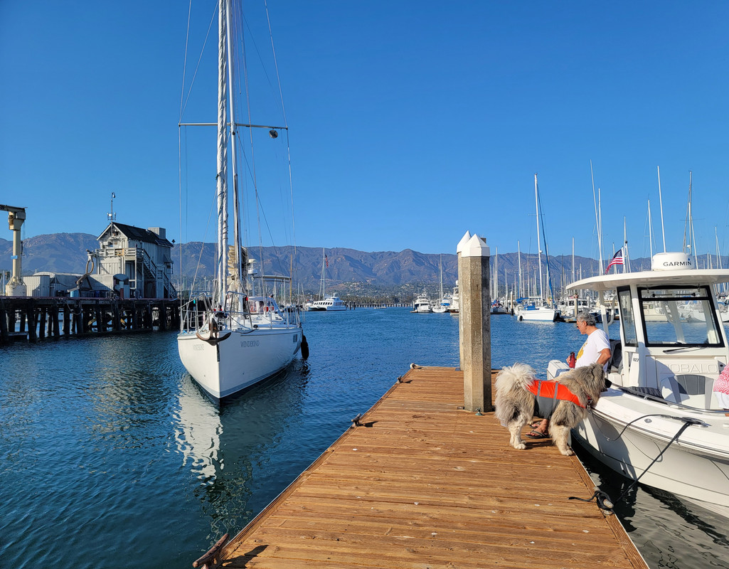
Did a trip over to the islands yesterday and then headed to Santa Barbara for lunch on the courtesy dock.
A beautiful sail boat pulled up next to us.
|
|
|
JZ
Select Nomad
      
Posts: 13959
Registered: 10-3-2003
Member Is Offline
|
|
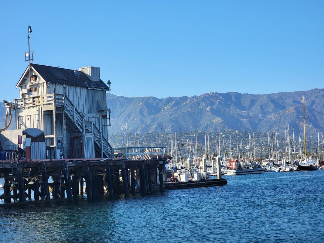
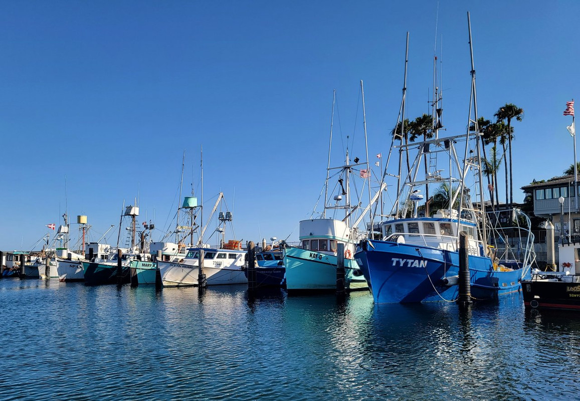
More of the Santa Barbara harbor.
|
|
|
| Pages:
1
2
3
4 |

