Quote: Originally posted by bajaric  | | Quote: Originally posted by David K | | Quote: Originally posted by 4x4abc | Mina La Venada official location according to register: 29° 1.693'N, 114° 15.288'W
La Venada is what we thought for some time to be Leon Grande
well, it is on the trail to Leon Grande - but it was not Leon Grande
[Edited on 4-13-2023 by 4x4abc] |
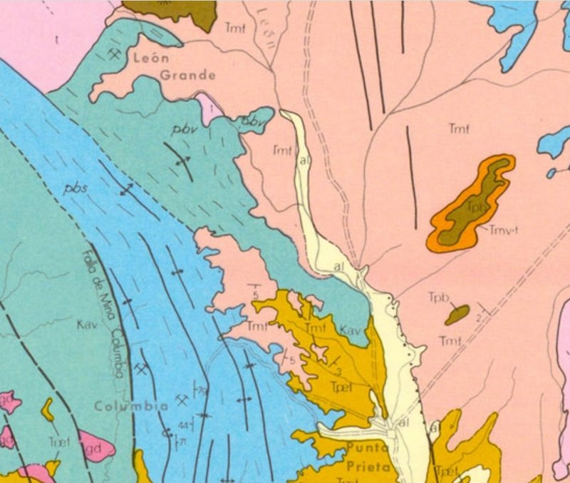
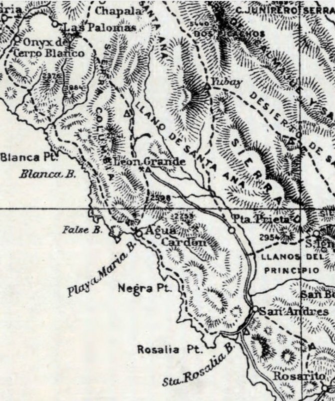
"Which is the Leon Grande location of all maps (seems to me) from the 1920s to 1971... With the '71 Geology map being highly detailed and accurate."
|
DK, as I have politely pointed out several times "your" Leon Grande ((La Venada) is 3 miles south of the location for Leon Grande that is shown on
the 1971 Geological map. The 1921 map shows Leon Grande 8 miles due south of Agua Leon, which is also north of La Venada. La Venada is not the Leon
Grande location of all maps. It is the location on no maps.
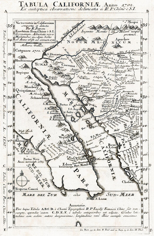
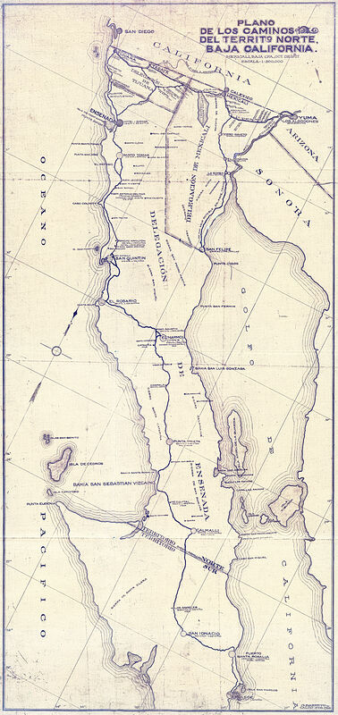
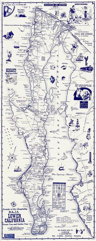
Leon Grande was a water hole on the old north south trail. Water was so scarce in this area that finding water was literally a matter of life and
death for travelers on foot. That is why it is shown on all the maps from the 1920's when the trail was in use. It is interesting that no one on
here, myself included, know exactly where the water hole or spring was located. Harald has put forth some reasonable possibilities, though I think
the trail was well east of La Venada, running along the eastern flanks of the Sierra Columbia between Mesa el Leoncito and Punta Prieta. There are so
many old mining trails in there it is hard to say which one is the north-south trail.
La Venada appears to be a modern mine. That is why the road to it is so visible on Google Earth. The north-south trail was a burro trail that was
only in use for a short time before it was abandoned, so it is probably pretty faint. Even in 1921 it was faint, as Hale and his companion noted when
they lost the trail and almost died before the heard the sound of singing, and found a road crew camped at Leon Grande, a pool of water below a source
in a cliff.
|
Well, I think we all need to go explore the area. Also, a careful reading of Hale's words is in order. Do we have any other book references to Leon
Grande? Thanks to 'geoffff' we have photos and gps for Agua Leon. 'My' Leon Grande came from the 1971 map, which shows it as a mine. I measured the
spot from nearby known locations (Yubay, Punta Prieta, old L.A. Bay jcn. with old main road, etc.). I will do it again, and see where the 1971 map
spot goes on Google Earth, this time! Ha! First, I will dig up the original location discovery post... stand by! LOL |


 that we found it, at the very end of the road that goes north-northwest from Punta Prieta, the same distance that
Hale mentioned. Look here (basically more west from your point, west of Parador Punta Prieta): 29.0284, -114.2547 Of course just because there is a
consensus, doesn't make it a fact!
that we found it, at the very end of the road that goes north-northwest from Punta Prieta, the same distance that
Hale mentioned. Look here (basically more west from your point, west of Parador Punta Prieta): 29.0284, -114.2547 Of course just because there is a
consensus, doesn't make it a fact! 